Our reputation is on the line.
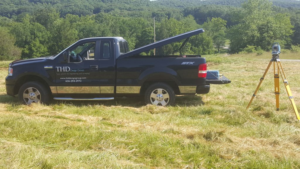
 When we draw boundaries, you’re assured of precision and unwavering attention to detail. Our field crews use robotic total stations for state-of-the-art data collection. This combines with a strong support staff and AutoCAD® technology for the most efficient transfer of data between all team members.
Accuracy is everything. We combine technology with human expertise to deliver meticulously exact reports you can build on.
Surveying Services
-
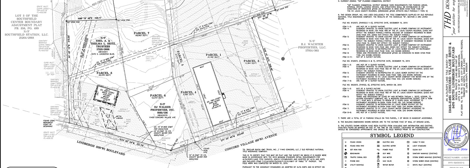
A boundary survey of the subject property will be made and the property corners will be located and verified or reset. The improvements on the property will be located and encroachments onto or from the subject property will be determined. The property owner for the construction of a fence or other improvements can use this survey. The survey will meet “Minimum Standards for Property Boundary Surveys.”
-
Plans showing the actual conditions as they are rather than as they were designed or proposed.
-
These surveys require actual field measurements. The measurements cannot be taken or transcribed from plans or other informational materials. The exterior boundaries of a condominium parcel are monumented. Notes on the condominium plat must indicate whether the interior measurements shown are referring to finished or unfinished surfaces or planes and what data was used for any elevations depicted on the plat.
-
Control surveys establish a common, consistent network of physical points that are the basis for controlling the horizontal and vertical positions, and may be of higher accuracy based on order. Corridor control surveys ensure that adjacent projects have compatible control. Project control surveys provide consistent and accurate horizontal and vertical control for all subsequent project surveys — photogrammetric, mapping, planning, design, construction, and right of way.
-
Taking an existing lot, or parcel and dividing it into additional lots.
-
A survey which shows cadastral as well as governmental boundary lines relating to city limits or zoning areas for the purpose of adding property to a governmental municipality or changing the existing land use for the area specified. In some cases, information from available records will be used, in others; a minimum standards boundary survey will be used.
-
This is the most comprehensive type of survey and improvement location. It covers all the aspects of the boundary survey and improvement location and identification for any additional evidence of possession or use which could be adverse to the interests of the purchaser. This type of survey is normally only performed on commercial or industrial properties because of the expense involved.
-
The main purpose of this survey is to show the existing physical features of the land such as ground relief and location of natural and man-made features and is often used for site plans and engineering. A topographic survey typically includes both natural and man-made features. It is common to show hills, streams, lakes and vegetation along with major building, fences, roads, transmission lines, and utilities. A topographic survey is used for planning and zoning, site layout, engineering and architectural design and construction.
-
It involves establishing ground survey points for proper positioning of the conceived project. It involves the interpreting of plans and the layout of the project to fit the site as designed, which can range from a single house to staking-out a complete network of streets, roads, and utilities for both multi-residential and commercial subdivisions.
-
This is a plat map of the division of a tract of land into two or more parcels prepared for the purpose of recording and subsequent conveyance of property, drawn on Mylar. A subdivision plat may include easement, rights-of-way or other “dedicated open space.” A subdivision plat contains a title page with general notes, a description of sewer easement restrictions, notarized signatures of owners as to their dedication of streets, easements and other public areas, spaces for signature of the County Administrator as to acceptance of R.O.W. and a statement of approval by the Planning Commission with lines for signature and date
-
Right of Way (R/W) surveys are performed to gather data on existing property lines, areas where unwritten rights may exist, and any other evidence that makes up the land-net for use in conjunction with existing land records and right of way requirements to determine, delineate, appraise, acquire, demarcate, monument, and map the rights of way, typical for roadways, pipelines, and large scale utility lines and/or facilities.
-
When an easement is vacated, the right of one party to use land owned by another is removed. The property owner would no longer be restricted from making improvements in an easement area. The City and utility company allows landowners to eliminate or “vacate” easements when it is determined that the easement is not being used, and there is no apparent public use for the easement in the future. This document is prepared to assist a land owner in “Vacating” an easement, Right-of-Way or other encumbrance that may no longer be needed and thereby free up the land for another use. This plat depicts all the information necessary to “add” this land back into the overall parcel. It is typically prepared, approved by the governing entity, recorded, and then referenced in a new deed. Each governing body has different requirements for not only the application for vacation but the map itself. We can determine what these requirements are and prepare the survey and associated map accordingly. May times a Public Hearing is required which we can attend on your behalf.
-
It is a location of improvements and cursory check for encroachments onto or from the subject property based on existing but not confirmed evidence. This does not constitute a boundary survey and is subject to any inaccuracies that a subsequent boundary survey may disclose. No property corners will be set and it should not be used or relied upon for the establishment of any fence, structure or other improvement. No warranty of any kind is extended therein to the present or future owner or occupant.
-
Certificates, which contain elevation information for the different floors of a building and the outside grades, are generally required to obtain flood insurance for homes. The certificate will list what flood zone the building is located in as defined by the flood insurance rate maps prepared by the federal government.
-
This is used to describe the location of land in legal documents, such as a deed to a property. In the written transfer of real property, it is universally required that the instrument of conveyance include a written description of the property.
-
This drawing is used for the proposed construction on a new building on a vacant lot of a residential or commercial lot. The drafter will draw the footprint of the building (per plans received from the client or architect) onto the lot to show where the new building will be built. Once the plot plan is approved by the client and the local officials our survey crew can be hired to go out and mark the ground where the new building is to be built.
-
This involves interpreting construction plans and helping contractors to build according to design.